Tucked into pristine old Florida land in Flagler County, Florida Cracker Ranch is a family oriented outdoor adventure club where kids, parents and thrill seekers share the same trails, campsites and waterways.
Adventure Memberships available — families and singles welcome.
Reserve Your SpotWelcome to Florida Cracker Ranch
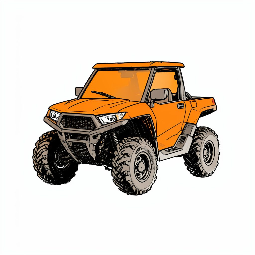
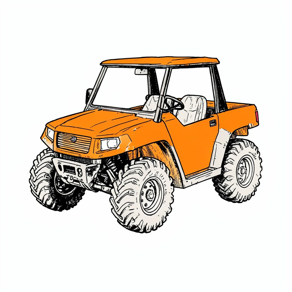
Often called Nature's Theme Park, our grounds invite families to ride ATV trails, splash through the swamp buggy area, pitch a tent, cast a line and explore old Florida hiking paths. Discover why members keep coming back season after season.
What You Can Do Here
ATV Trails
Marked routes for every skill level, including a peewee section.
Dirt Bikes
Dedicated dirt bike area built for two wheel adventure.
BMX & Mountain
Pedal powered BMX and mountain bike trails.
Swamp Buggy
Spacious swamp buggy area for big rig fans.
4x4 & Mud Trucks
Deep ruts and splash zones for 4x4s and mud trucks.
Skeet Range
Skeet shooting range in a controlled setting.
Camping
Membership campsites on a first come, first served basis.
Horse Trails
Scenic horse trails and riding paths.
An Old Florida Tradition
We honor the cracker way of life with old Florida outdoor living, traditional lodging, hiking and nature trails, plus fishing, swimming and beach access for members and their guests.
- Membership camping on a first come, first served basis
- Old Cracker Style Lodging cabins planned for overnight stays
- Old Florida hiking and nature trails
- Fishing, swimming and beach access
- Horse trails and riding
By the Numbers
How to use a compass on Florida Cracker Ranch’s unmarked trails
A compass adds a dependable layer to a day on Florida Cracker Ranch’s unmarked trails, where pine flatwoods, scrub, creek edges and open ranchland can make several tracks look equally plausible. A bearing gives you a way to recognise the route instead of assuming every fork leads onward.
A compass should guide judgement, not replace it. Pair the instrument with a map, obvious landmarks, a charged phone and enough water for Florida’s heat. Used carefully, it helps families move confidently through the ranch while preserving the chance to explore away from marked routes.
Read the terrain before following the needle
Start with the map, not the needle. Ask for or download a ranch map, identify the trailhead and destination, and mark junctions that could offer an alternative exit. Note the scale, north arrow and grid references. If the map uses true north rather than magnetic north, check current magnetic declination before calculating a route.
The landscape can look deceptively uniform once you are below the tree line. Sandy ruts, bright scrub and soft grass may create several plausible lines, while wet ground can erase the obvious connection between two track segments. The ranch’s beginner trail guide can help riders match suitable routes to conditions around Flagler County before they begin.
This is familiar preparation for Australian bushwalkers, who often meet baseplate compasses through Scouts, orienteering and school camps. The same models remain standard in Australian outdoor shops, while walkers in Sydney and Melbourne routinely download offline maps before entering bushland. Those habits transfer well to Flagler County.
Set a bearing and hold it steady
A baseplate compass has a magnetised needle, a rotating bezel, an index line and a direction-of-travel arrow. Check that the needle settles cleanly and that any bubble is centred before relying on it. Move well away from steel gates, vehicles, magnetic cases and recovery tools; a disturbed needle can send you confidently in the wrong direction.
Set the instrument to match the map before moving. If the map uses magnetic north, rotate the map until its north arrow is parallel with the settled needle. Place the baseplate’s straightedge from your position toward the destination and read the dial where the index line crosses it. If the map uses true north, apply local declination or use a compass with adjustable declination.
In the field, rotate the bezel until the chosen bearing sits at the index line. Hold the compass flat on your palm, turn your body until the north-marked end of the needle meets the housing’s north mark, and the direction-of-travel arrow will point along your route. Check again after every turn rather than trying to watch the needle continuously.
Like a film crew establishing a location, choose a reference before moving. Visual context from the Nepal film site offers a useful parallel: a fixed landmark makes a broad landscape easier to interpret and remember.
Read junctions, landmarks and distances
At each junction, slow down before choosing a line. Face the intended direction, verify a bearing and find two independent landmarks, such as a distinctive trail curve, pond edge or fence intersection. One tree may look different after the leaves change; two references are stronger.
Different tools have different strengths:
| Tool | Strongest use | Main limitation | Best role at the Ranch |
|---|---|---|---|
| Map and baseplate compass | Heading and route choice under tree cover | Requires declination care and deliberate map reading | Primary navigation |
| Phone GPS | Confirming position at a junction | Heat, battery use, glare and patchy signal | Backup and cross-check |
| Landmark bearings | Short, memorable stretches | Landmarks can be hidden or altered | Progress checks and returns |
Use a phone to check, not to dominate. A GPS position can confirm a junction, but heat, glare, battery drain and patchy reception make it less dependable in bright Florida woods. Download the map for offline use, keep the phone away from the compass, and reconcile disagreement before continuing.
Distance turns a bearing into usable progress. Record it in kilometres and metres, converting the ranch’s US map scale if needed, and estimate a personal pace before leaving. In many Australian outdoor guides, a pace is counted in a steady rhythm; compare that rhythm with the map scale rather than assuming everyone uses the same stride.
Carry a practical field kit
Pack gear that works when a phone fails: a waterproof map, compass, whistle, headlamp, first-aid kit, water, sunscreen and insect repellent. The ranch’s deep-sand driving guide is useful if the day also includes a 4x4, especially for tyre pressure, momentum and recovery; keep magnetic recovery tools away from the compass while using it.
Before leaving the ranch
- Mark the trailhead, destination, north arrow and at least one bailout point on the map.
- Set or note magnetic declination; check that the needle returns to north after the compass is moved.
- Calibrate a pace against the map scale and write down the distance for each leg.
- Download an offline map, lock the screen, and carry a charged power bank.
- Leave a return time and route with ranch staff or a trusted person.
At every junction
- Stop and identify magnetic north before choosing a trail.
- Record the bearing, distance travelled and the landmarks used.
- Compare the map, compass and phone; trust the two that agree.
- Look back often enough to confirm that the previous landmark remains in view.
- If signals disagree, stay at the junction and retrace the last confirmed leg.
Florida conditions can change quickly, so check the forecast before setting out. Carry more water than expected, use sun protection, and leave exposed ridges and open water during thunderstorms. A compass cannot improve visibility, identify a dangerous animal or replace sound route planning.
Recover without making the problem worse
If the route stops making sense, stop walking rather than making a random turn. Sit or stand safely, identify north, review the last confirmed bearing and list what can be seen. A common bushwalking discipline is to stop, think, observe and plan. Australian walkers are trained to make that reset before pushing through unfamiliar vegetation.
When the mistake is a missed turn, return to the last known point along the trail rather than cutting across unknown ground. Add 180° to the bearing you followed to obtain the reciprocal, wrapping around 360° when necessary. Follow an edge you can still identify and check the landmarks behind you. If you are on a vehicle route, walk the first section if safe; footprints can be easier to retrace than a fast-moving track.
Florida traffic keeps right, unlike the left-hand roads Australians know at home. That matters when returning from a trail to a public road: slow down, watch for ATVs and traffic, and obey posted access rules. If you cannot safely retrace, stay in an open, visible place, conserve phone battery, use the whistle and contact ranch staff or emergency services. Do not push through deep sand or water merely to regain a signal.
Make compass skills part of the day
Compass habits suit every part of a ranch day. On an ATV or 4x4, let a passenger navigate and stop at each fork. Dirt-bike and BMX riders can use a stopwatch to check time against distance, while walkers, horse riders, anglers and swamp-buggy drivers should record a return bearing from the trailhead or water’s edge.
For visitors planning repeat outings, camping or guest access, the ranch’s membership options are worth comparing with the activities and frequency of planned visits. Familiarity with particular routes and camp areas can make a paper map and compass routine easier to maintain.
The practical takeaway is simple: before every departure, mark the route, set one test bearing, record the first junction and carry a backup. A compass works best as a habit of small, checked decisions, so review each bearing at the next landmark rather than trusting one setting all day.
Get in Touch
Send us a note about memberships, guest visits or directions. Phone 386-864-3856 or email floridacrackerranch@floridacrackerranch.com. Mailing address: P.O. Box 2993 Bunnell, Florida 32110.