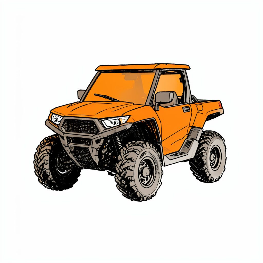
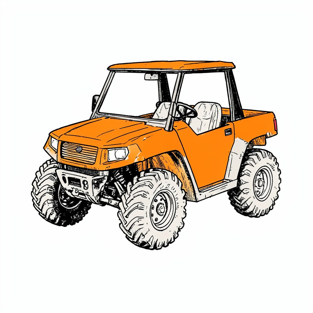
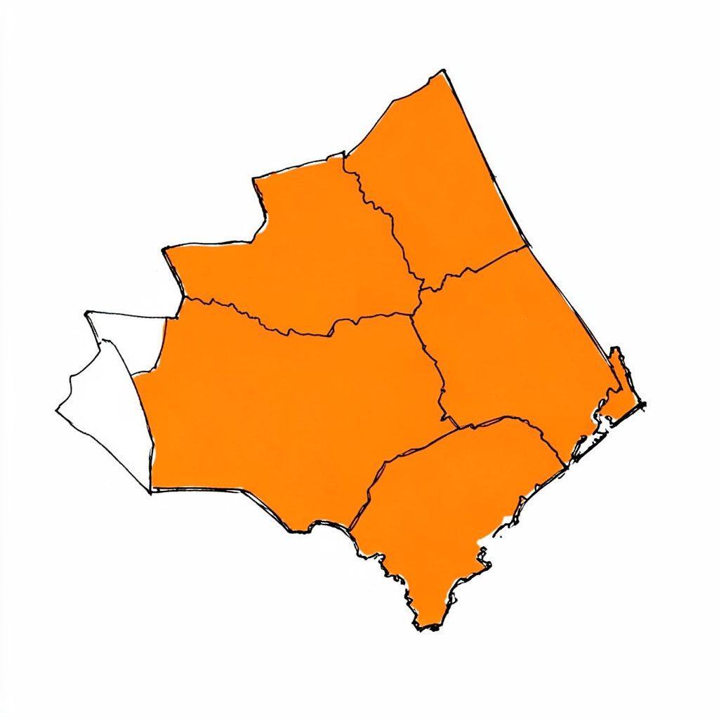
Tucked into pristine old Florida land in Flagler County, Florida Cracker Ranch is a family oriented outdoor adventure club where kids, parents and thrill seekers share the same trails, campsites and waterways.
Adventure Memberships available — families and singles welcome.
Reserve Your SpotWelcome to Florida Cracker Ranch
Often called Nature's Theme Park, our grounds invite families to ride ATV trails, splash through the swamp buggy area, pitch a tent, cast a line and explore old Florida hiking paths. Discover why members keep coming back season after season.
What You Can Do Here
ATV Trails
Marked routes for every skill level, including a peewee section.
Dirt Bikes
Dedicated dirt bike area built for two wheel adventure.
BMX & Mountain
Pedal powered BMX and mountain bike trails.
Swamp Buggy
Spacious swamp buggy area for big rig fans.
4x4 & Mud Trucks
Deep ruts and splash zones for 4x4s and mud trucks.
Skeet Range
Skeet shooting range in a controlled setting.
Camping
Membership campsites on a first come, first served basis.
Horse Trails
Scenic horse trails and riding paths.
An Old Florida Tradition
We honor the cracker way of life with old Florida outdoor living, traditional lodging, hiking and nature trails, plus fishing, swimming and beach access for members and their guests.
- Membership camping on a first come, first served basis
- Old Cracker Style Lodging cabins planned for overnight stays
- Old Florida hiking and nature trails
- Fishing, swimming and beach access
- Horse trails and riding


By the Numbers
Trail Map Skills for Safer Outdoor Adventures
A trail map turns an unfamiliar landscape into something you can understand before you set off. It shows where paths go, how they connect, what hazards may be nearby and how long your outing might take. For beginners, learning to read one is less about memorising symbols and more about building a reliable picture of the route.
The same skills apply whether you are exploring a bush track outside Canberra, planning a mountain-bike ride near Melbourne or preparing for an outdoor day at Florida Cracker Ranch in Flagler County. A good map helps families choose suitable terrain, while riders and hikers can use it to manage distance, direction, weather and energy.
Start With The Map Basics
Before following a line, check the map’s title, date, scale and coverage area. A printed trail map may focus on one property or park, while a topographic map can cover a much larger region. Confirm that your entire intended route fits within the map and that the information is current.
The scale explains the relationship between map distance and real distance. If a map uses a scale of 1:25,000, one centimetre on paper represents 250 metres on the ground. A scale bar is often easier for beginners because you can place a ruler, finger or piece of string against it without doing a calculation.
The legend explains the symbols. Solid lines may show maintained tracks, dashed lines can indicate minor or seasonal routes, and different colours may distinguish walking paths from roads, waterways or activity zones. Look for special markings for steep slopes, gates, campsites, toilets, viewpoints, parking areas and emergency access.
A north arrow or grid tells you how the map is oriented. Many printed maps place north at the top, but this should never be assumed. If the map has a grid, the lines may represent latitude and longitude or a local coordinate system. Understanding that distinction becomes important when giving your position to park staff or emergency services.
Read Contour Lines And Land Shape
Contour lines connect points of equal elevation. When the lines are far apart, the ground usually rises or falls gradually. Lines packed closely together indicate a steep slope. A route that looks short on a flat map can be physically demanding if it climbs sharply.
Contour lines that form a V shape often point uphill when they cross a creek or drainage channel. Rounded loops may show a hilltop, while inward-facing marks can indicate a depression. Some maps label every fifth contour with a darker index line and an elevation number, making it easier to estimate the height of the surrounding terrain.
In Australia, elevation and heat can affect a walk as much as distance. A short climb near the Blue Mountains may require more effort than a longer flat loop in a coastal reserve. In the Northern Territory, exposed ground can become dangerous during hot weather, while alpine routes around Mount Buller may involve snow, ice or closed sections even when lower areas are clear.
On an off-road property, landform symbols still matter. Low-lying ground may become muddy after rain, and a dry-looking crossing can change quickly after storms. At Florida Cracker Ranch, visitors may move between wooded tracks, open areas and wet terrain, so map reading should be combined with current advice from staff before choosing an ATV, 4x4, horse-riding or hiking route.
Match The Route To Your Group
Trail colour or difficulty ratings are helpful, but they are not universal. One park’s “easy” loop may be more demanding than another’s because of heat, loose gravel, roots, mud, traffic or limited shade. Read the description as carefully as the rating and consider the least experienced person in the group.
Estimate the total distance, elevation gain and likely travel time. A walking pace of four kilometres per hour is only a rough starting point. Families with young children, riders stopping at intersections and groups carrying fishing or camping equipment will move more slowly. Add time for rests, photographs, navigation checks and unexpected delays.
For cycling or motorised activities, identify intersections before you depart. A mountain-bike trail may share a section with hikers, while an ATV or 4x4 route may have one-way rules, vehicle restrictions or separate skill areas. Florida Cracker Ranch offers a wide range of outdoor activities, so the safest route is the one that matches the vehicle, rider experience and current site conditions.
Australian visitors are familiar with checking fire bans, park alerts and seasonal closures before heading out. Apply the same habit to any private adventure park or recreation area. A route can be technically open while a creek crossing, wildlife zone or temporary work area remains unsuitable for visitors.
Use Landmarks And Navigation Clues
A map becomes easier to follow when you connect symbols with recognisable features on the ground. Bridges, fences, creek crossings, gates, towers, large bends, rocky outcrops and road junctions are useful checkpoints. Mark them mentally before leaving the trailhead, then notice them as you travel.
Do not wait until you are lost to check the map. At every major junction, confirm the direction, the next landmark and the distance to the following decision point. If the track looks different from the map, stop rather than pushing ahead. Seasonal vegetation, fallen trees, floodwater and informal vehicle lines can make several paths appear legitimate.
A compass can confirm direction even when mobile reception is poor. Hold it level, keep it away from metal objects and compare its needle with the map’s north reference. A phone’s compass is convenient, but it can be affected by magnets, vehicles and nearby electronics. Calibrate it when needed and avoid treating it as your only navigation tool.
Wildlife signs are landmarks of a different kind. Tracks, burrows and warning signs may indicate that you should slow down or give an area space. Before visiting Florida trails, read this gopher tortoise guide so you can recognise an important protected species and avoid disturbing its burrow.
Prepare A Paper And Digital Backup
Download an offline map before leaving mobile coverage. Save the relevant area at a useful zoom level and check that your phone can display your position without data service. Carry a power bank, protect the phone from water and keep the screen brightness low enough to preserve battery life.
Digital maps can contain user-added tracks, outdated access information or incorrectly labelled shortcuts. Compare them with an official park map, property map or current information from the land manager. Online searches can also return unrelated entertainment pages, such as Nepali film resources or movie listing sites, so check that your source is genuinely about trails, access and safety before relying on it.
A paper map remains valuable because it does not depend on battery life or signal. Place it in a waterproof sleeve and mark your planned route, turnaround point and emergency exit with a pencil. A simple whistle, torch and small first-aid kit add useful backup for short walks as well as longer adventures.
Tell someone where you are going, when you expect to return and which map area covers the trip. In Australia, this might mean leaving details with a family member before heading to a national park near Perth or a riding area outside Brisbane. At a private venue, save the property’s contact details and ask where to report a mechanical problem, injury or change in conditions; Florida Cracker Ranch lists its visitor information through its contact page.
Plan Around Weather, Access And Wildlife
Weather changes the meaning of a trail map. Rain can turn a gentle route into a slippery track, while strong wind can make exposed ridges unsafe. In Florida, humidity, thunderstorms and standing water deserve attention. In Australia, intense sun, sudden coastal weather and summer bushfire conditions can alter plans within hours.
Check the access points, not just the route itself. A track may begin behind a locked gate, require a booking or be restricted to a particular vehicle. Some sites separate walking, horse, bicycle and motorised traffic. Follow signs at junctions and never use an unofficial shortcut to bypass a closure or sensitive habitat.
Plan water and rest points from the map, then confirm whether they are actually operating. Mark toilets, shade, shelters and vehicle access, but do not assume a creek is safe to drink from. Bring enough water for the full outing, especially if travelling with children or taking part in a physically demanding activity.
Practical Map-Reading Habits
- Check the legend, scale, north arrow and map date before starting.
- Trace the route and identify every major junction, crossing and exit.
- Estimate time using distance, terrain, weather and the group’s slowest member.
- Carry a waterproof paper map alongside an offline digital copy.
- Stop at unfamiliar intersections and confirm the next landmark before continuing.
- Respect gates, closures, wildlife areas and instructions from land managers.
Make A Simple Route Plan
A beginner-friendly route plan can fit on a small note. Write the starting point, intended direction, key landmarks, turnaround time and emergency exit. Include the names of nearby roads or gates, because those details may be more useful to staff or emergency responders than a trail name alone.
Choose a conservative turnaround rule. If the group has not reached a planned landmark by a particular time, return while daylight, water and energy remain. This is especially important on routes where the outward journey feels easy but the return includes heat, darkness or a tiring climb.
At the trailhead, compare the map with the landscape. Find north, identify the first junction and locate a feature that confirms your starting position. Take a photograph of the map board if permitted, but keep the original route information available offline or on paper.
Map reading becomes comfortable through repetition. Begin with a short, clearly marked loop, practise matching symbols to real features and gradually move to longer or more complex routes. The key lesson is simple: a trail map is a decision-making tool, and the safest adventure is planned with distance, terrain, conditions and the whole group in mind.
Get in Touch
Send us a note about memberships, guest visits or directions. Phone 386-864-3856 or email floridacrackerranch@floridacrackerranch.com. Mailing address: P.O. Box 2993 Bunnell, Florida 32110.