Tucked into pristine old Florida land in Flagler County, Florida Cracker Ranch is a family oriented outdoor adventure club where kids, parents and thrill seekers share the same trails, campsites and waterways.
Adventure Memberships available — families and singles welcome.
Reserve Your SpotWelcome to Florida Cracker Ranch
Often called Nature's Theme Park, our grounds invite families to ride ATV trails, splash through the swamp buggy area, pitch a tent, cast a line and explore old Florida hiking paths. Discover why members keep coming back season after season.
What You Can Do Here
ATV Trails
Marked routes for every skill level, including a peewee section.
Dirt Bikes
Dedicated dirt bike area built for two wheel adventure.
BMX & Mountain
Pedal powered BMX and mountain bike trails.
Swamp Buggy
Spacious swamp buggy area for big rig fans.
4x4 & Mud Trucks
Deep ruts and splash zones for 4x4s and mud trucks.
Skeet Range
Skeet shooting range in a controlled setting.
Camping
Membership campsites on a first come, first served basis.
Horse Trails
Scenic horse trails and riding paths.
An Old Florida Tradition
We honor the cracker way of life with old Florida outdoor living, traditional lodging, hiking and nature trails, plus fishing, swimming and beach access for members and their guests.
- Membership camping on a first come, first served basis
- Old Cracker Style Lodging cabins planned for overnight stays
- Old Florida hiking and nature trails
- Fishing, swimming and beach access
- Horse trails and riding

By the Numbers
Finding your way across the ranch using nothing but eyes and instinct
Australians are no strangers to wide open spaces. From the red dust of the Red Centre to the wet tropics north of Cairns, travellers from Sydney, Melbourne and Brisbane often find themselves standing under a sky so vast that any gadget screen seems to shrink the world down to a thumbnail. Bringing that same appetite for wild country to a place like Florida Cracker Ranch means swapping the phone's blue dot for the rustle of palmetto fans and the silhouette of an old oak.
Picking up landmarks instead of relying on satellites sounds old-fashioned, yet it remains one of the most rewarding ways to experience a property this size. The ranch spreads across rolling pine country crossed by creek beds, riding loops and marsh edges, and every trail bends around something worth noticing. With a paper map, a sensible sense of direction and a little patience, even first-time visitors can feel like bush regulars by lunchtime.
Why leaving the GPS behind changes the whole walk
A handheld signal works well until it does not. Dense hammock cover, sudden afternoon storms and the kind of thick oaks that swallow a satellite fix are exactly what defines much of inland Flagler County. The same surprises that catch inexperienced walkers in the bush around Margaret River or the Lamington plateau will catch visitors here.
Switching off the screen turns the walk into something closer to what seasoned bushwalkers call reading the country. You stop watching a dotted line and start noticing a fence corner, a leaning cypress, the colour of the soil and the dip where water settles after rain. The brain sharpens, time slows down and the route becomes a story told by what you pass rather than a queue of turn-by-turn instructions.
The skill transfers far beyond the ranch gate. Reading terrain in humid, snake-friendly country is something that serves travellers whether their next trip is to Karijini in Western Australia or a quieter patch of ridge behind a friend's property on the Mornington Peninsula.
Reading the hand-drawn ranch map like a local
Every adventure membership packs a printed trail map that opens like a small poster. Unlike a phone screen, it never dims in the sun, never runs out of battery halfway across a paddock and never has to compete with crickets for attention while you read the legend.
The smartest approach is to fold it into quarters before you set off, so the section you are currently walking sits on top. Hold the map north-up, then turn your body until the printed north arrow matches the actual north your compass points to. Suddenly every creek crossing, camp loop and shooting range marker aligns with what you can see across the grass, and three details matter more than the rest: the scale bar lets you measure a kilometre against a familiar sight like the length of a cricket pitch; the legend turns circles, dashes and triangles into specific features from water troughs to fire breaks; and the magnetic declination note tucked in the corner gives you a truer bearing.
Before heading out, adopt the same fresh food handling practices you would on any long bush trip, because a stranded explorer is a hungry one. Keeping perishables cool is just as relevant in the cypress stands of north Florida as it is along a remote four-wheel-drive run through the Kimberley.
| Navigation approach | Signal reliability under tree cover | Power or skill required | Best fit on the ranch |
|---|---|---|---|
| Smartphone GPS app | Drops out under thick oak canopy | Phone battery plus mobile signal | Quick car park to cabin transfers |
| Dedicated handheld GPS | Holds a fix more reliably | Rechargeable battery | Long four-wheel-drive loops |
| Paper map and compass | Unaffected by satellite loss | Regular map-reading practice | All-day rides and weather emergencies |
| Pure landmark reading | Depends on visibility alone | Patience and a strong memory | Confident riders returning often |
Once the map is unfolded and aligned, a single loop becomes its own story. The lines are no longer abstract; they are the sandy lane between two fence posts, the easy grade that hugs the pond and the shortcut past the bunkhouse that everyone ends up taking home.
Landmarks that anchor your bearings
A landmark only earns its name if it stays put. The ranch uses a handful of fixed points so old that even long-term members still refer to them by their original nicknames.
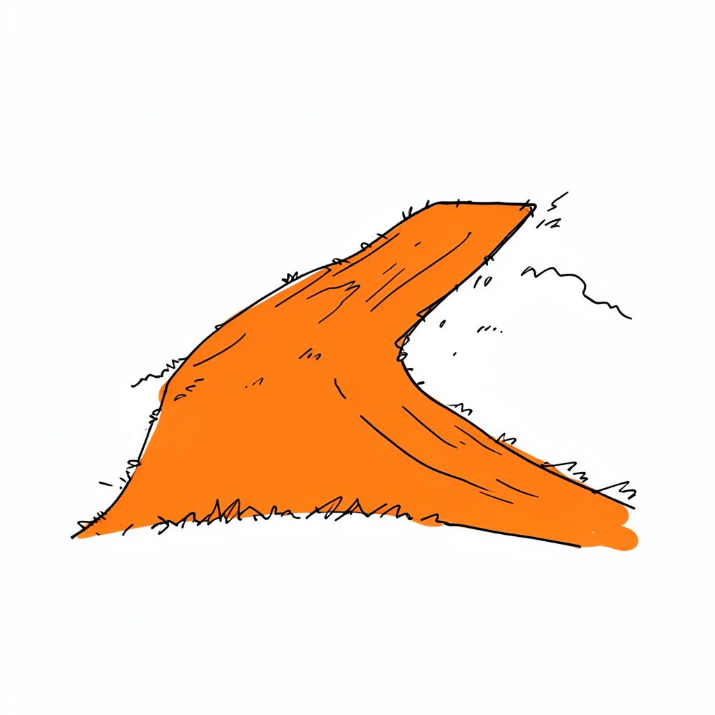
The southern entry sits beside a leaning limestone well that has resisted every storm for the better part of a century. Push past it and the track forks at what locals call the Crescent Pond, a sickle-shaped pool edged by old cypress knees. From there, the dirt bike loop curls west around the Cracker Cabin, a weatherboard original whose wrap-around porch marks the halfway point of the longer rides.
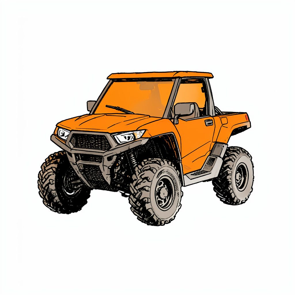
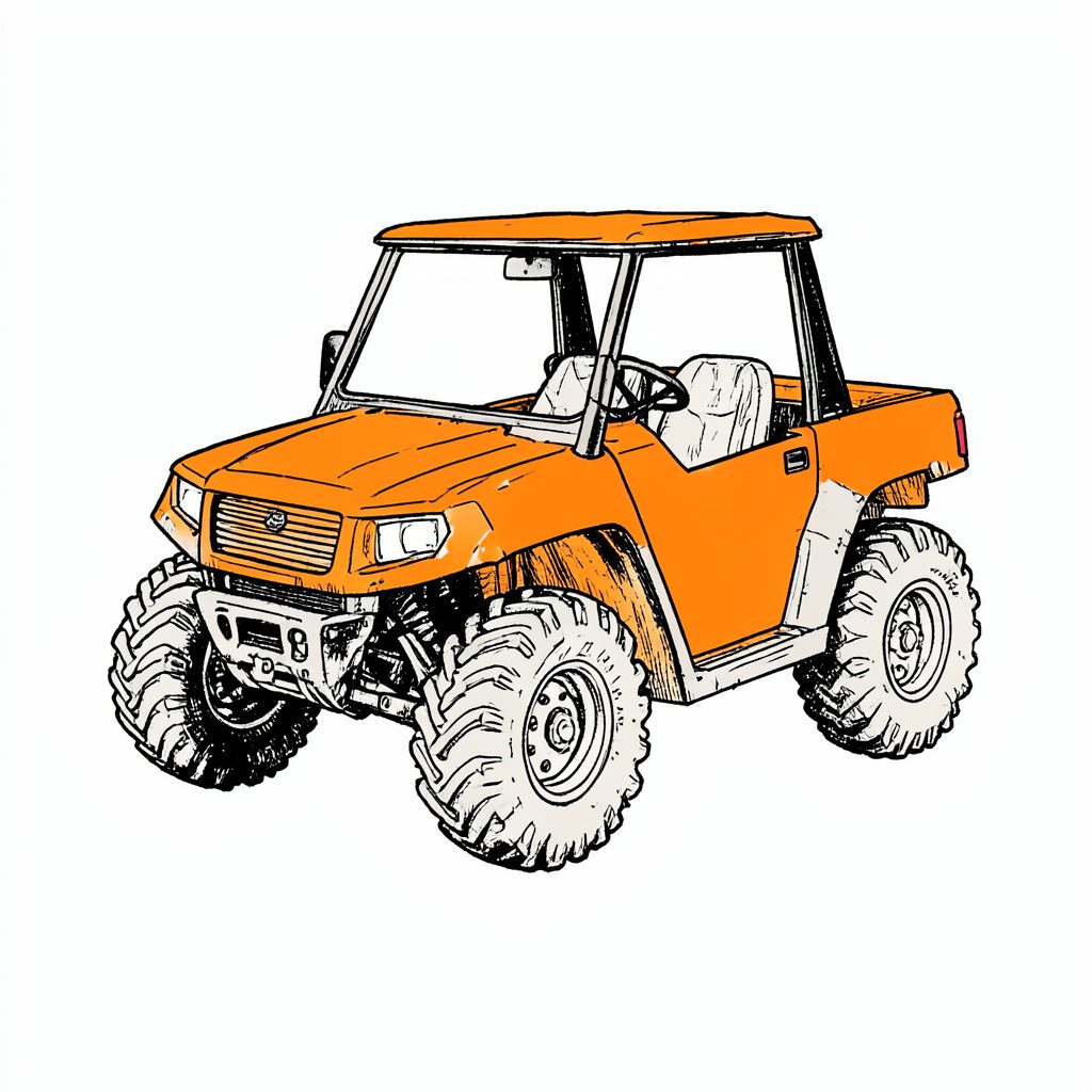
Further north, an old orange tractor parked on a low rise acts as a beacon for the four-wheel-drive loop. Closer to the equestrian area stands a pair of painted steel horses overlooking the arena; they are visible from three separate trails and tend to be the easiest confirmation point for families riding out together for the first time. Programmes and ride-outs linked to these features are listed on the ranch events calendar, so riders can plan around guided marker-to-marker runs.
Trail markers and colour-coded posts
Landmarks tell the big story, yet trail markers do the daily work. Along the ranch a quiet system of painted posts and reflective tabs keeps the routes legible without spoiling the view.
The riding loops use a sequence of pine stakes with a single band of colour near the top. Each loop has its own colour: red for the shortest family ride, blue for the extended horse loop, green for the four-wheel-drive track, and orange for the dirt bike challenge. A reflective collar is added at every fork so a head-torch or a four-wheel-drive spotlight picks them up after dusk.
Back-road riders used to the blaze system along Tasmania's Overland Track will recognise the logic straight away. A second stripe, set slightly higher, means the trail turns within fifty metres; a single stripe on its own means the path continues straight past. Where the ground gets soft and the original post has fallen, the team rotates a fresh stake back into the same hole, so the rhythm of markers rarely shifts from year to year.
There is even a thoughtful read on long ride strategy that walks through how to plan a full day's ride without leaning on a screen.
Navigating after dark and in the fog
Sometimes the screen is not a choice. A late afternoon squall can roll in off the Atlantic and drop a curtain of white across the hammocks within minutes, turning familiar fence lines into shadows.
In those moments, slow down rather than speed up. Walk to the nearest marker, read it, then fix a back-bearing on the post you have just left so you can return to it if visibility collapses again. Listen for the swamp buggy route, which runs along the highest, driest ground; engine sounds carry a long way in still air and can confirm direction when sight fails.
Night navigation brings a different set of cues. The Milky Way hangs differently in the southern sky than it does over a Brisbane backyard, but the same trick works: locate the Southern Cross, drop a line from its long axis to the horizon, and you have a rough south pointer. Frogsong that suddenly drops away means you have strayed too close to deeper water. Mosquito-free air usually means higher, drier ground and a safer line back to camp.
A small head-torch with a red-light mode preserves night vision while still letting you read the next marker, a habit shared with outback guides from Alice Springs to the Pilbara.
Smart backup with paper maps and group systems
Even the keenest navigator benefits from a second pair of eyes. Before leaving the car park, agree on a check-in pattern: every group gathers at the next numbered marker within a set time, and one person carries the fold-out map while the other carries a list of the landmark nicknames. If the two split, the rider with the map stays put at the last agreed feature.
Daily kit worth tucking into the saddlebag
- A baseplate compass with a rotating bezel, kept on a lanyard so it cannot be dropped in a creek crossing.
- A water-resistant sleeve for the printed map, particularly useful during the wetter months.
- A small notebook listing the colour sequence of the loop you plan to ride.
- A pencil, since ink runs and graphite does not when the map gets damp.
- A whistle, because three short blasts is the same universal call-out from Wilsons Promontory to the Appalachians.
Pre-trip habits that pay off later
- Confirm the weather window, especially during the wetter months that mirror Australia's own spring storms.
- Tell the office which loop you intend to ride and at what time you expect to be back.
- Carry a paper list of emergency contacts, including the on-site range master for the skeet fields.
- Pack a basic first-aid kit with snake-bite bandages, particularly in warmer months.
- Photograph the trailhead marker as a quiet backup reference.
Members find that a single guided introduction unlocks most of these habits in an afternoon, which is one reason the annual memberships include an orientation ride for new families.
The simplest lesson is also the oldest. The ranch rewards the people who treat the trails like an old paddock, not an app. Read the map, look up, listen, and trust the landmarks that have been guiding riders across this stretch of pine country since long before the first phone signal reached this corner of Florida.
Get in Touch
Send us a note about memberships, guest visits or directions. Phone 386-864-3856 or email floridacrackerranch@floridacrackerranch.com. Mailing address: P.O. Box 2993 Bunnell, Florida 32110.